1,000 of the most stunning landscapes in Google Earth
Ten years ago, I was flying over San Francisco when this strange but kaleidoscopically beautiful vista opened up outside of my tiny airplane window. When I got home, I fired up Google Earth to investigate. The aerial wonder along the southern tip of the bay turned out to be the Salt Ponds. Microorganisms reacting to the salt runoff in these waters color the pools surreal hues, and the resulting chromatic smudge is visible miles above Earth's surface. As an amateur photographer, I instinctively took a screenshot of the landscape now clear on my laptop. And with that simple act, Earth View was born.
Our first Earth View, the San Francisco Bay Salt Ponds
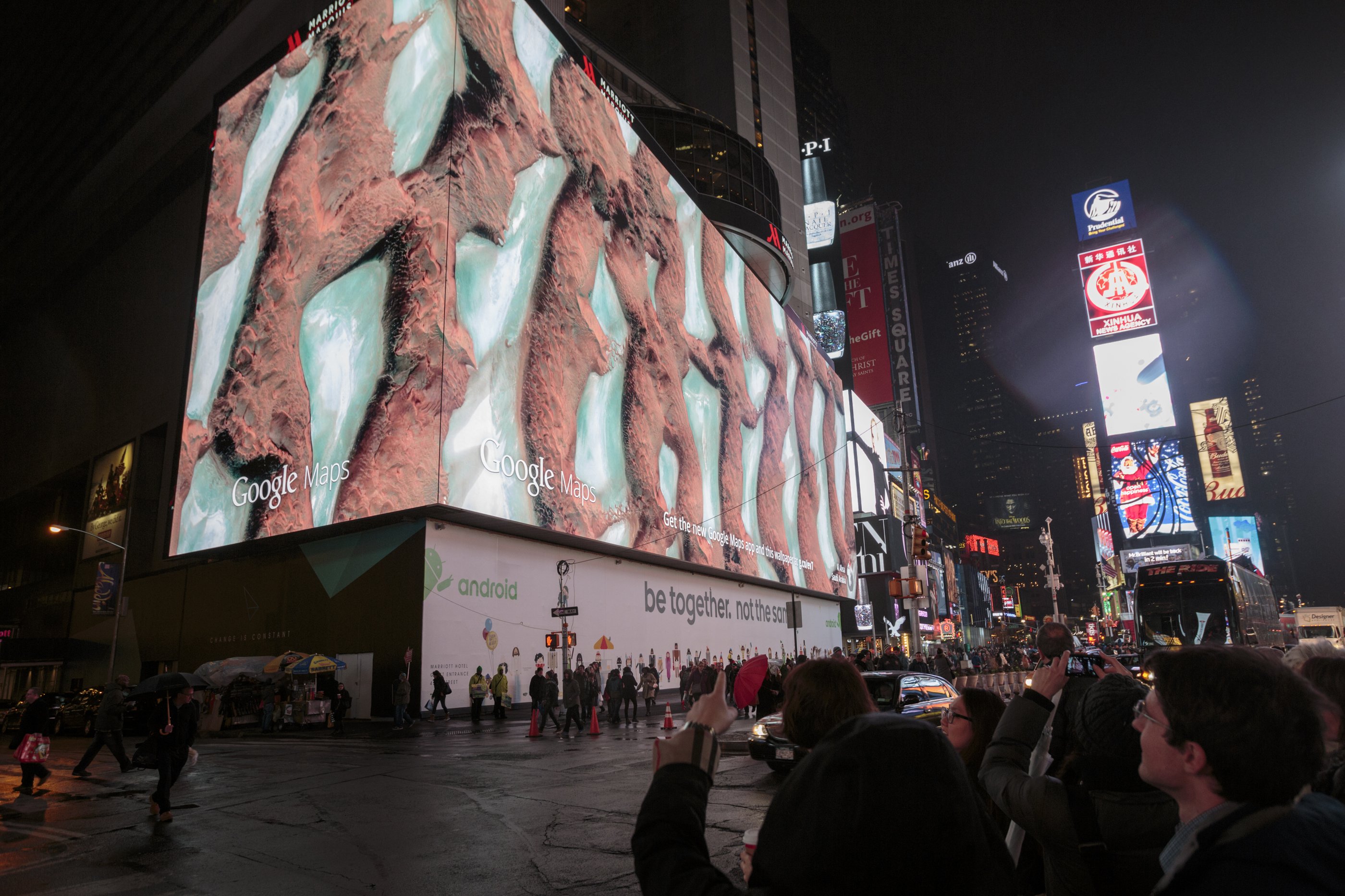
Earth View is a collection of thousands of the planet's most beautiful landscapes, seen from space. Over the last decade, the collection has been witnessed by millions around the world as wallpapers for Android devices, screensavers for Chromecast and Google Home, and as an interactive exhibit in Google Earth's Voyager. Earth View was even once featured on the world's biggest billboard to bring a little zen to Times Square during the holidays.
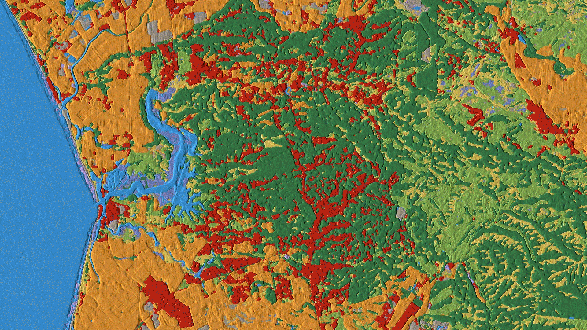
Today, we're making our biggest update to Earth View by adding more than 1,000 new images to the collection, bringing the total to more than 2,500 striking landscapes. The upgraded imagery features more locations around the globe and is optimized for today's high-resolution screens—featuring brighter colors, sharper images and resolutions up to 4K.
-
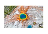
A sample from every continent of the 1,000+ new Earth Views available today. This is Yellowstone National Park in the United States.
-
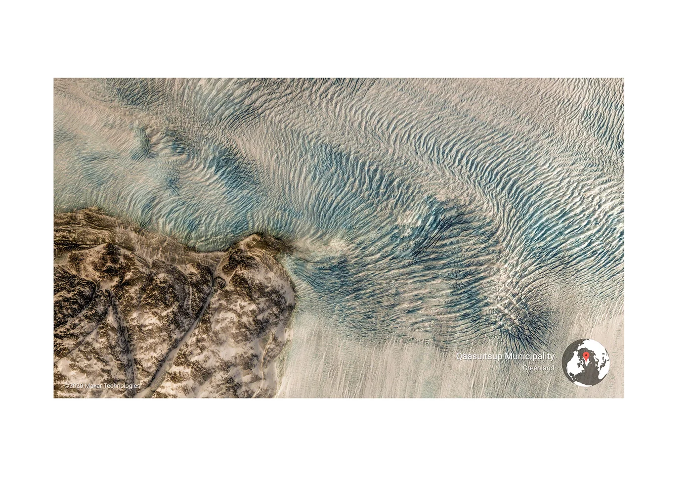
Qaasuitsup Municipality, Greenland
-
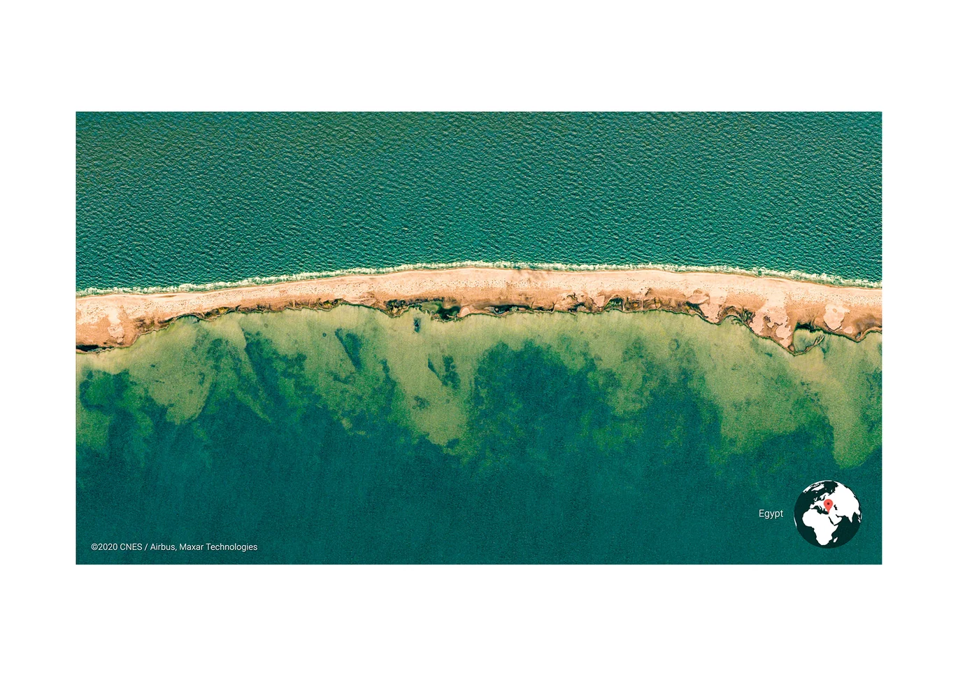
Egypt
-
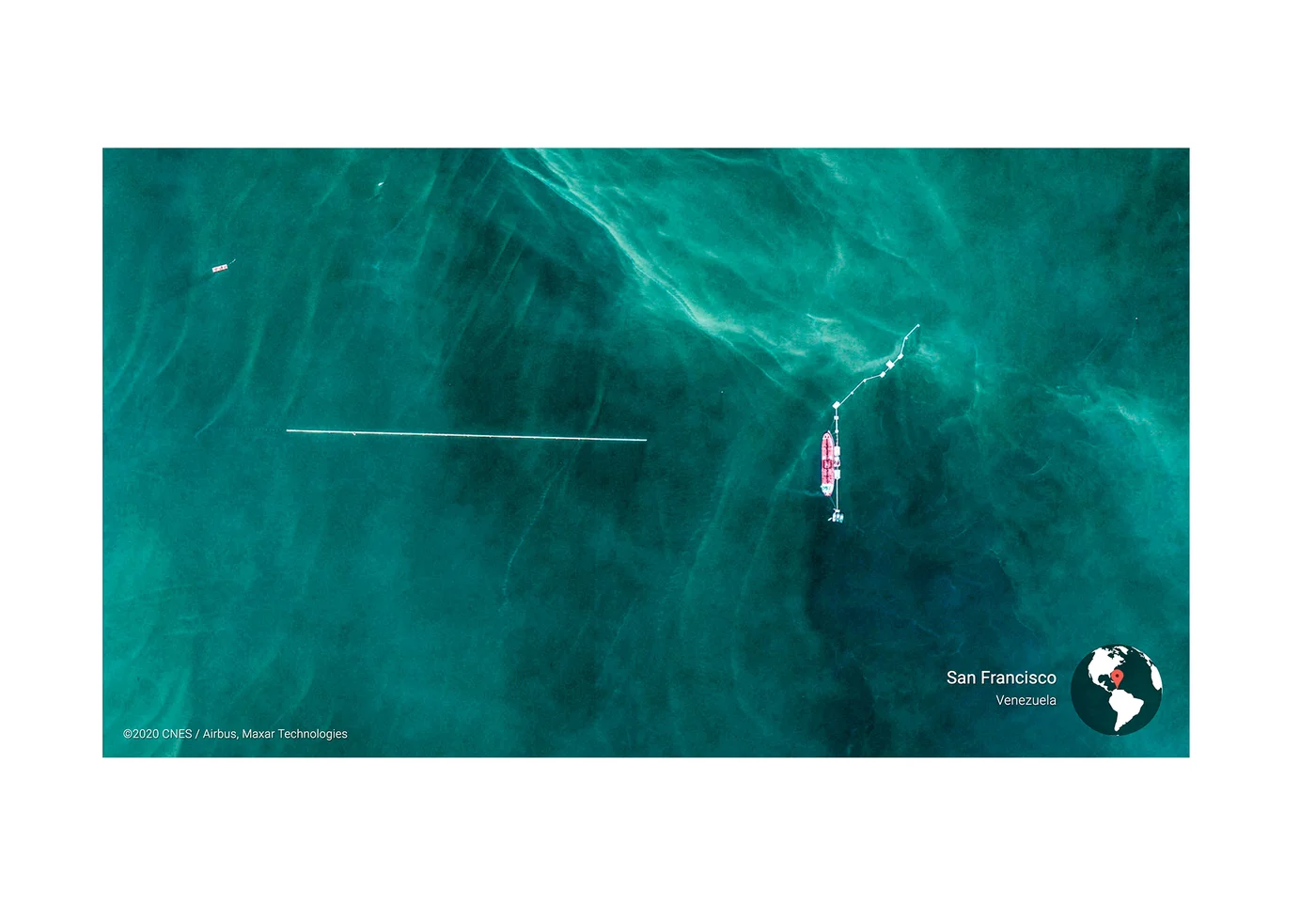
San Francisco, Venezuela
-
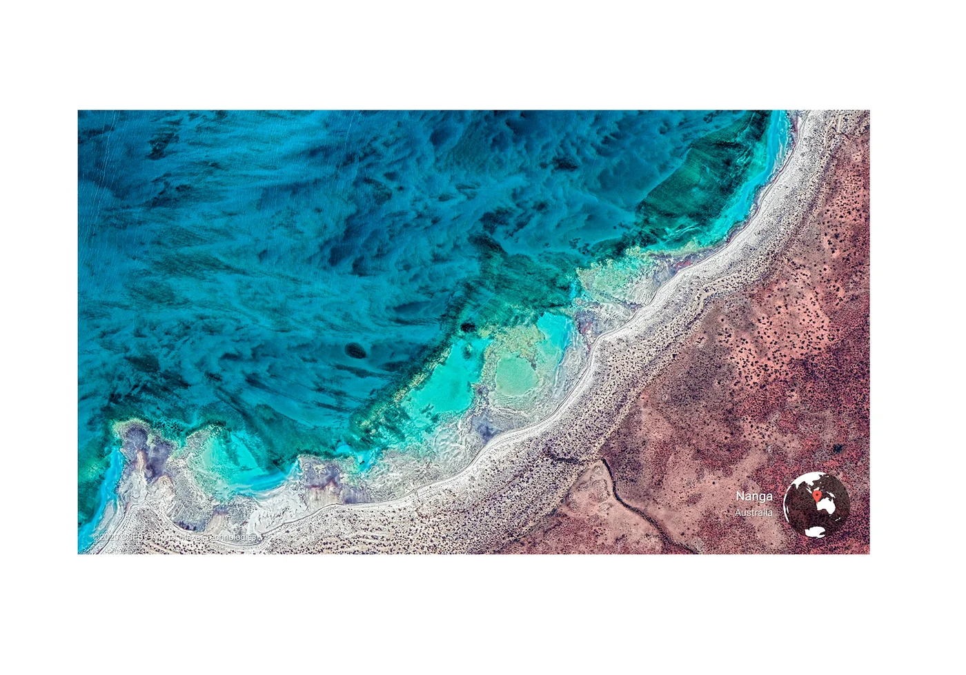
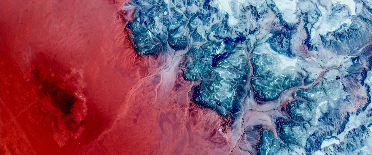
Nanga, Australia
-
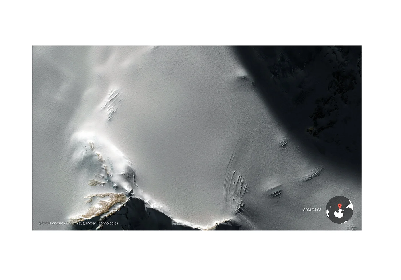
Antarctica
-
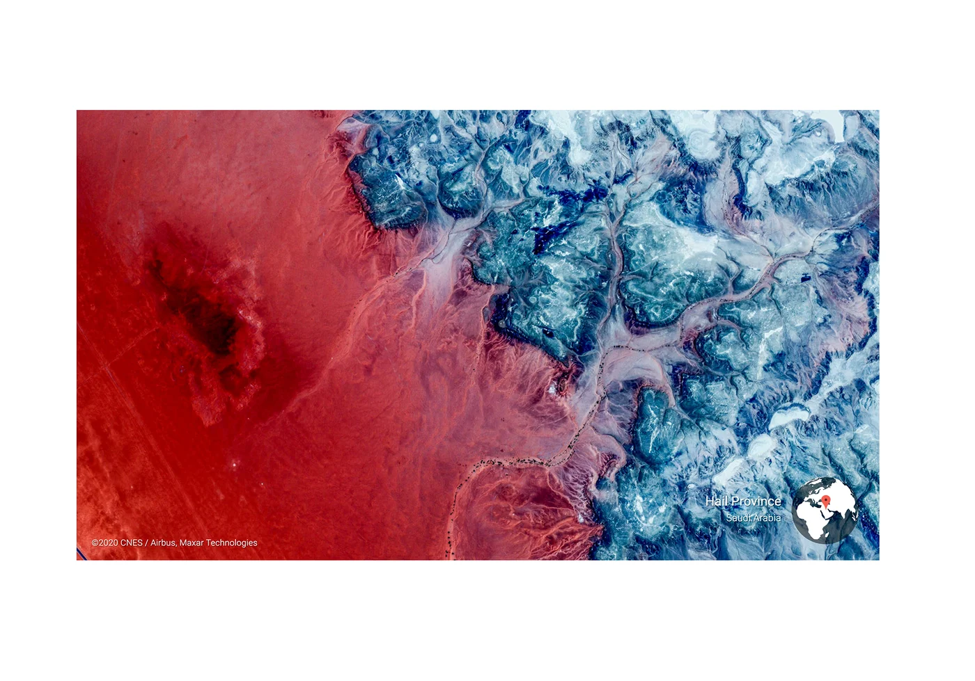
Hail Province, Saudi Arabia
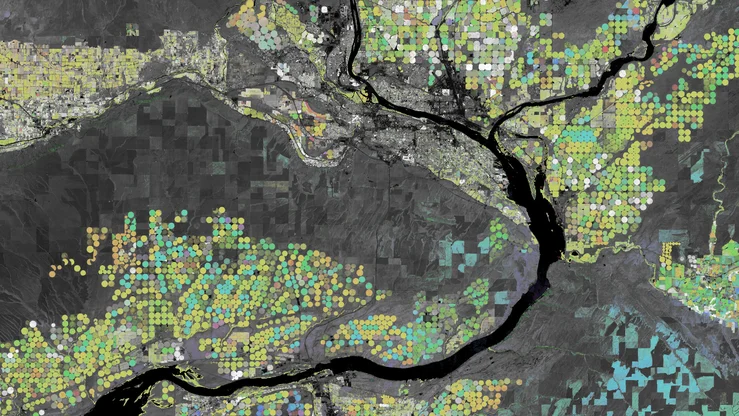
All the new imagery is available in the Earth View Gallery, as well as the popular Earth View Chrome Extension. The gallery also now features a nifty color map to help you visualize the thousands of Earth View locations, and find a landscape featuring your favorite color.
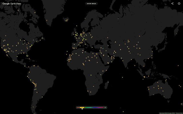
Filter more than 2,500 Earth Views by color or region
To bring Earth View to life, we've collaborated with our friends at Ubilabs in Hamburg, Germany. Together over the past several years, we've refined a set of tools that help us scour 36 million square miles of satellite imagery, while maintaining fine camera control to get just the right shot. To prepare the final image, we optimize the color profile for the particular landscape, and export the final image in ultra high resolution.

Learn how we capture Earth Views
Earth View started simply enough—a curiosity pursued by the curious. Over the decade, that tiny seed sprouted several limbs, and today this imagery has been seen by millions of people the world over. For me, Earth View's resonance is the bigger curiosity. As a species, we've only had access to views from space for the last 50 years. Yet something encoded in us long ago seems to wake up when we see the world at this unprecedented scale.
Earth View has the power to elevate our minds from our tiny screens to outer space—the landscapes that materialize when you open a new tab or unlock your phone punctuate your day with a global looking glass. My hope then is this funny, little project—along with Google Earth as a whole—moves us to care more deeply about this strange but kaleidoscopically beautiful planet.

